
IN COLLABORATION WITH


UNIFIED LAND INFORMATION SYSTEM (ULIS)
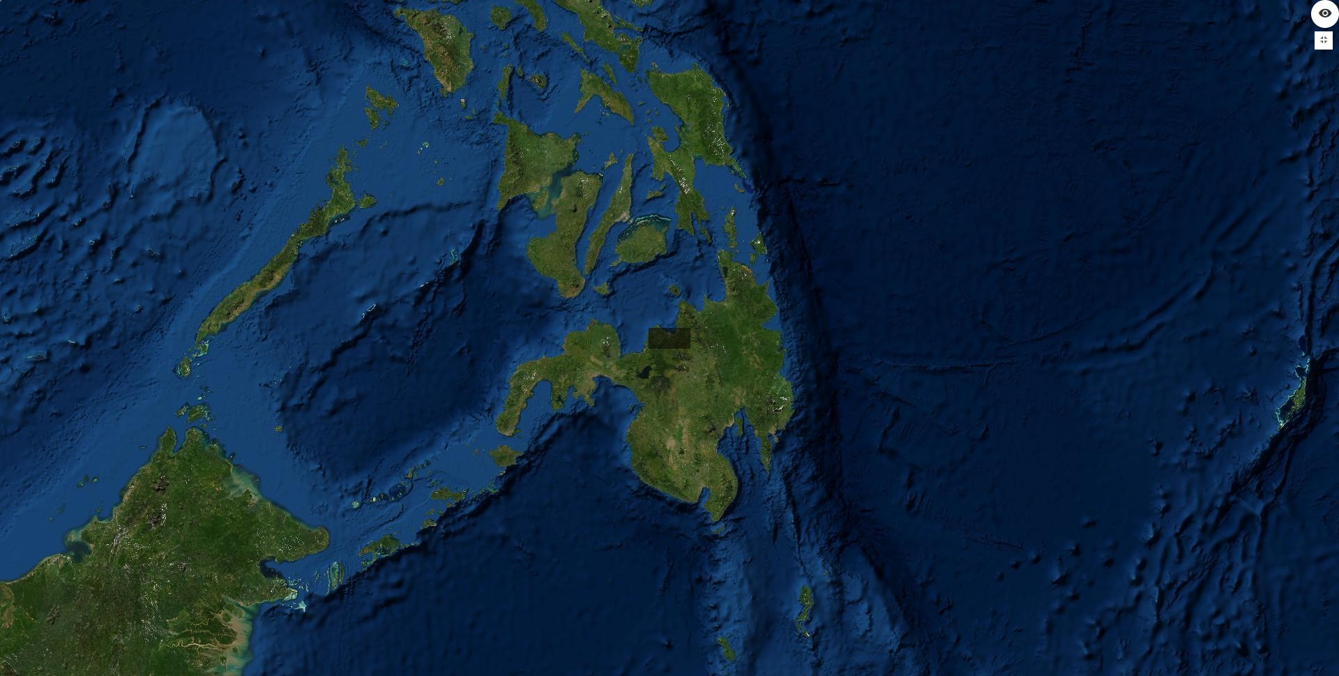
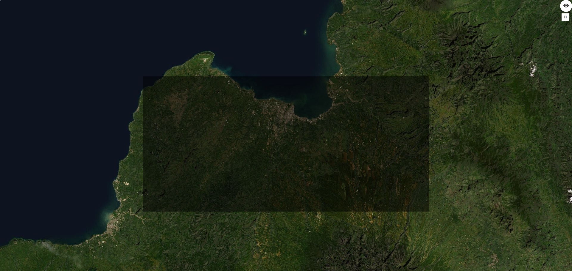
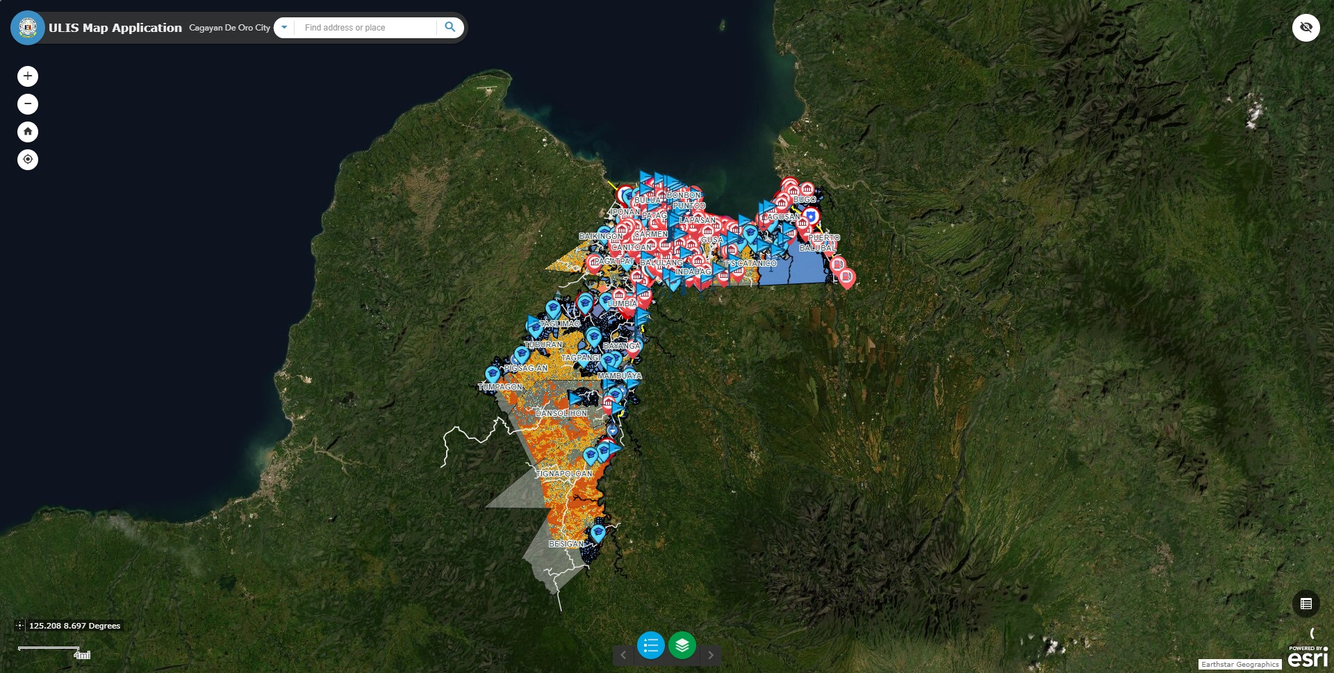
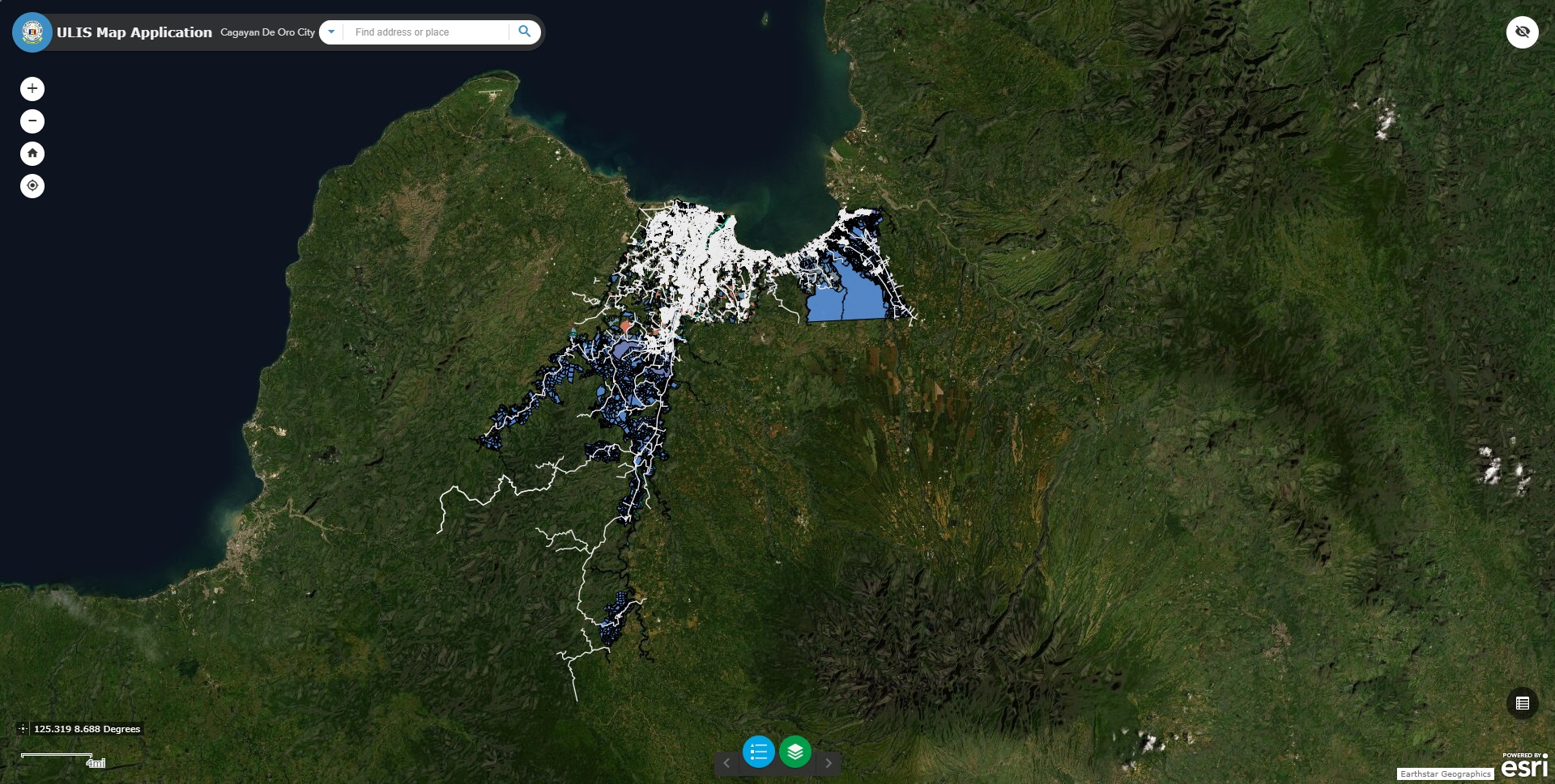
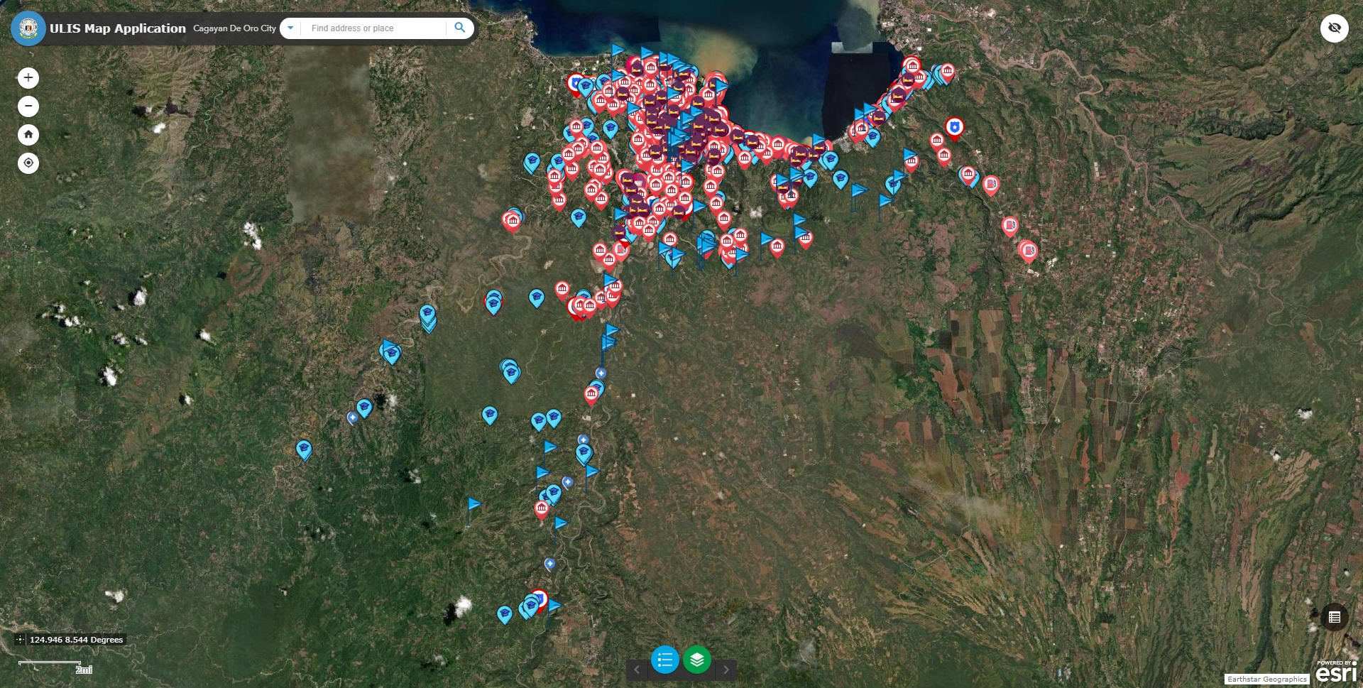
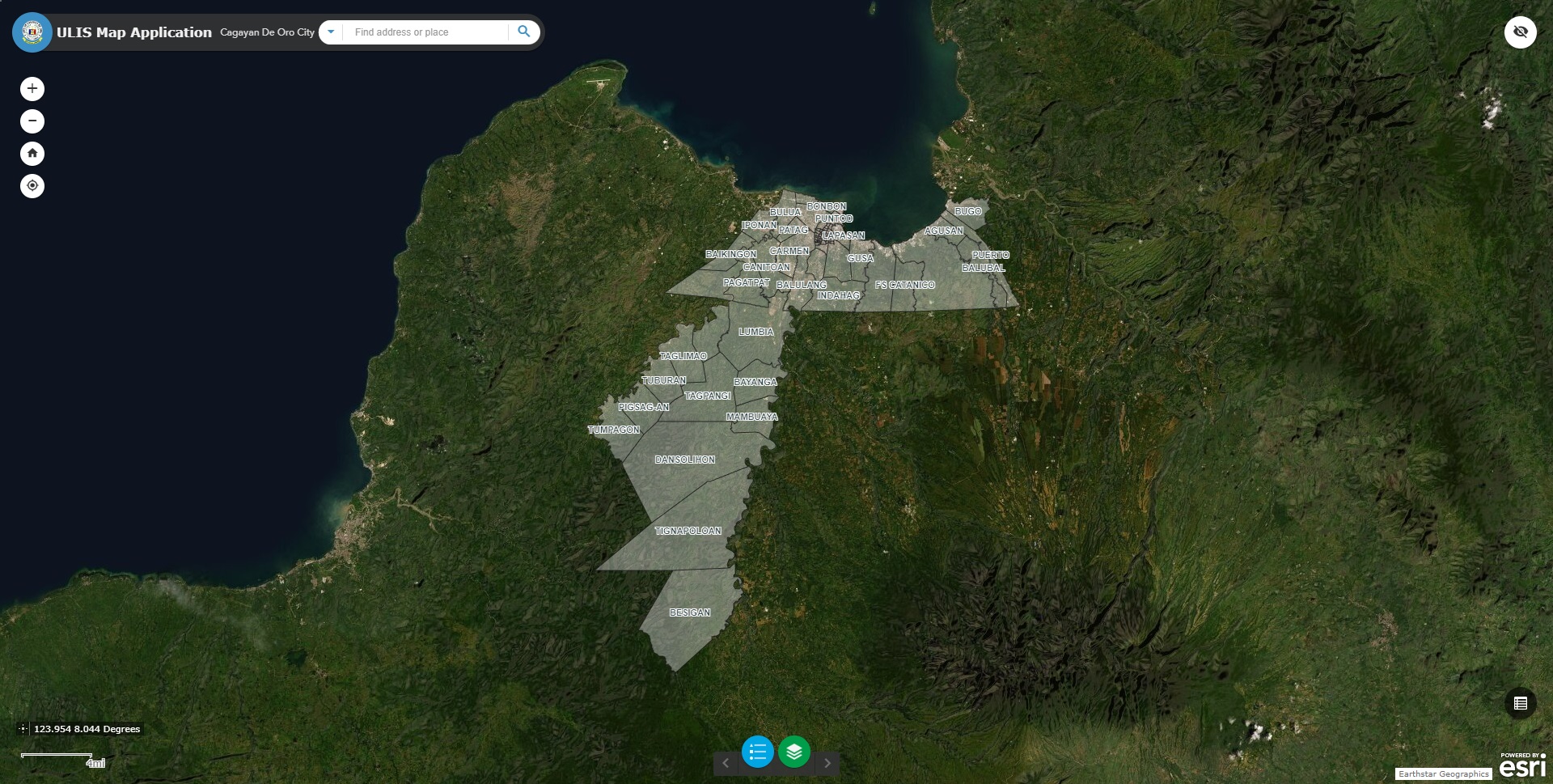
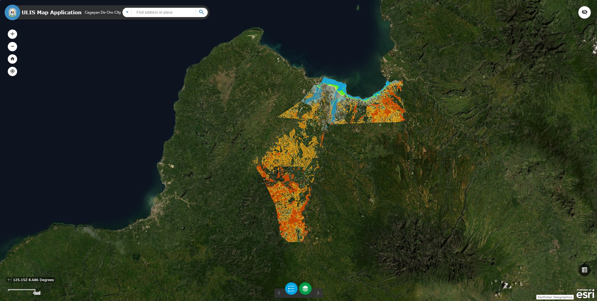
The Unified Land Information System (ULIS) aims to consolidate all land-related information of all parcels of land within the City of Cagayan de Oro.
GIS Manager: CMISID - Christine C. Bondoc / Noel S. Moreno
Webmaster: CMISID - Roselyn Jane R. Olores
Webmaster: CMISID - Roselyn Jane R. Olores
OTHER RELATED SYSTEM
If you have issues encountered and inquiries:
Powered by: City Management Information Systems and Innovation Department